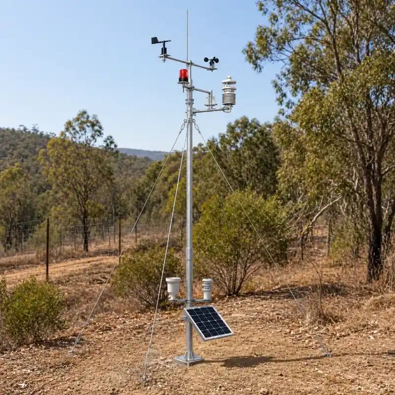
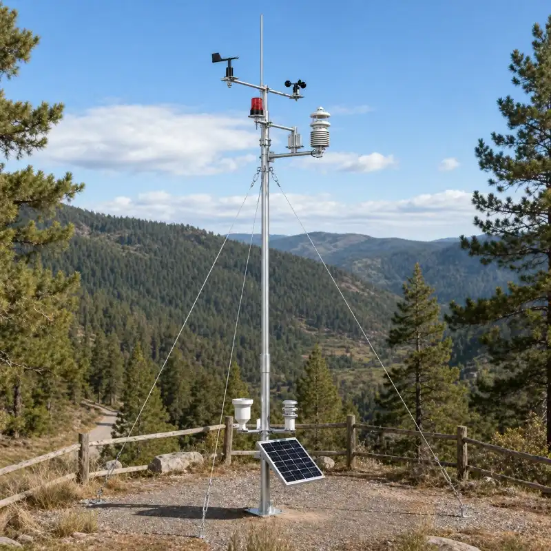
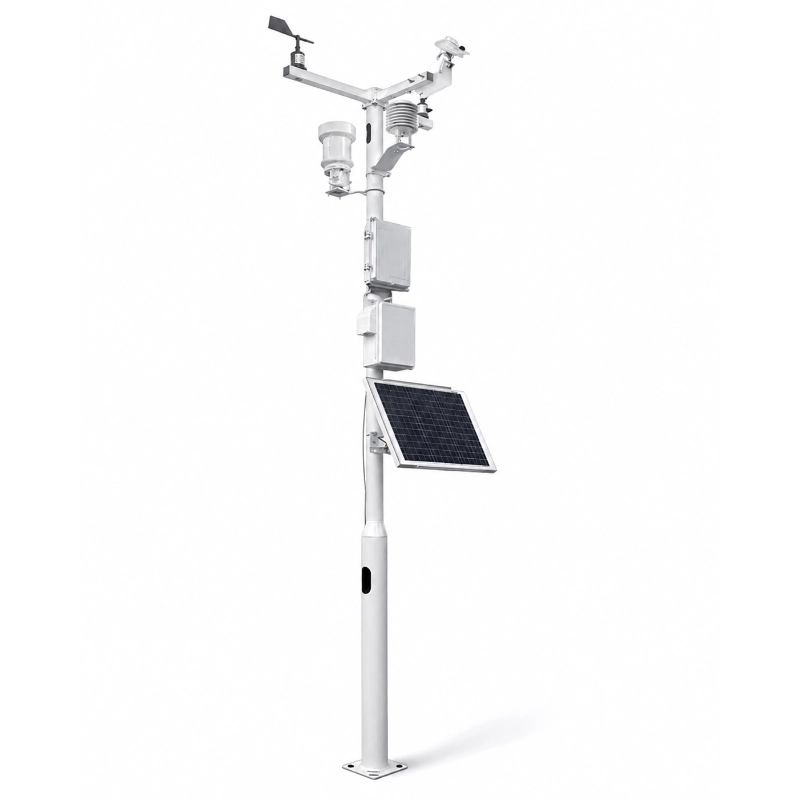
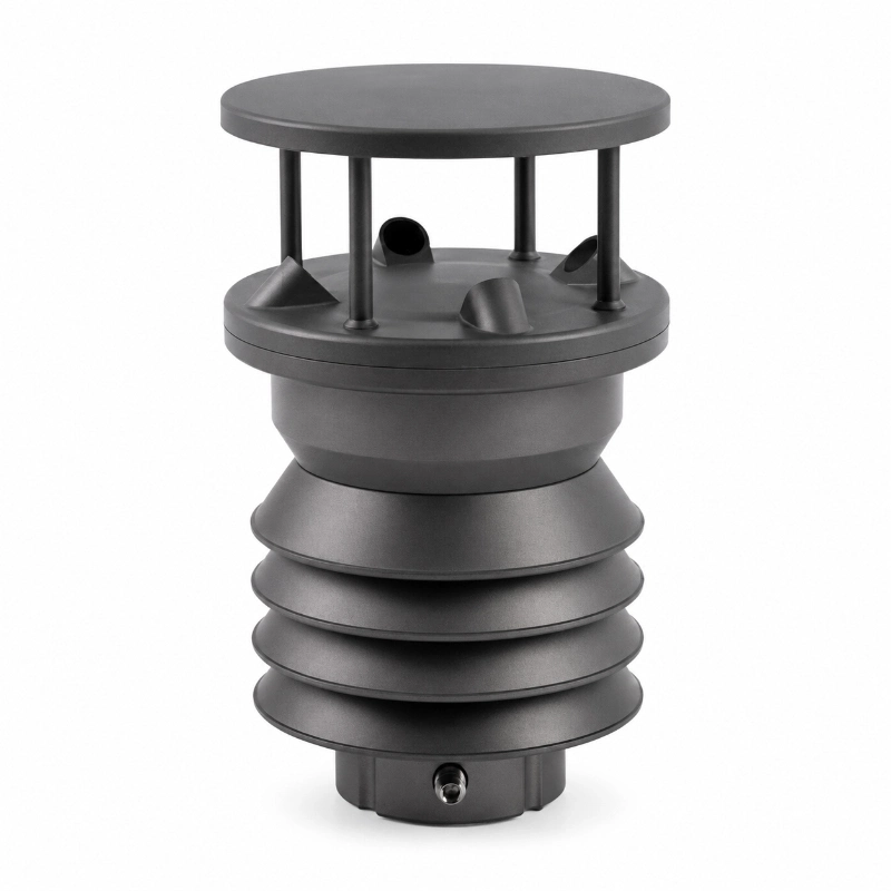
Forest Fire Weather Station for Wildfire Early Warning
Key Features
Designed for forest fire prevention: Specially developed for wildfire risk monitoring and forest fire early warning.
Real-time meteorological monitoring: Continuously monitors temperature, humidity, dew point, wind speed, wind direction, air pressure, rainfall and radiation.
Supports fire risk analysis: Captures the main weather factors related to fire danger and helps improve early warning efficiency.
Video monitoring integration: Can be combined with HD visible-light cameras for real-time forest image monitoring and platform upload.
Remote data transmission: Supports wireless transmission to upload data to a monitoring platform for remote viewing and management.
Alarm and notification function: Provides timely warning reminders when monitored values exceed preset thresholds.
Phenology monitoring support: Can integrate phenology sensors and analysis systems for plant growth, ecological changes and environmental trend monitoring.
Multi-parameter expansion: Supports additional monitoring items such as CO2, noise, PM1 PM2.5 PM10, illuminance, soil temperature, soil moisture and soil salinity.
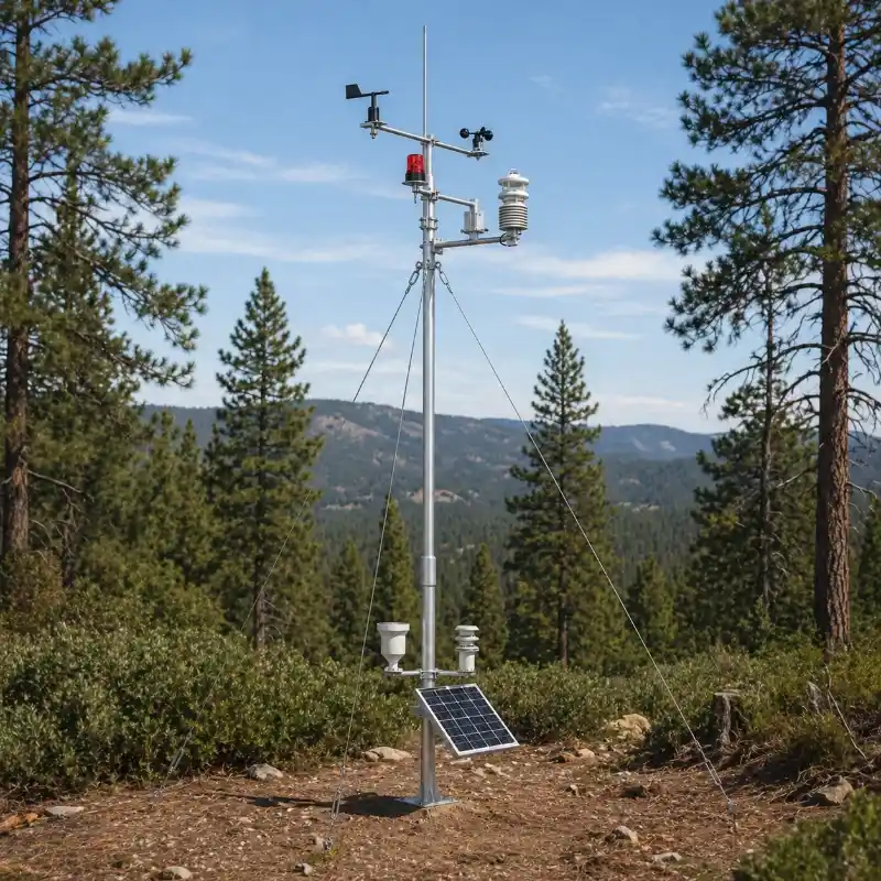
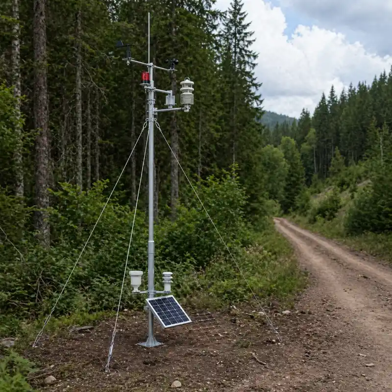
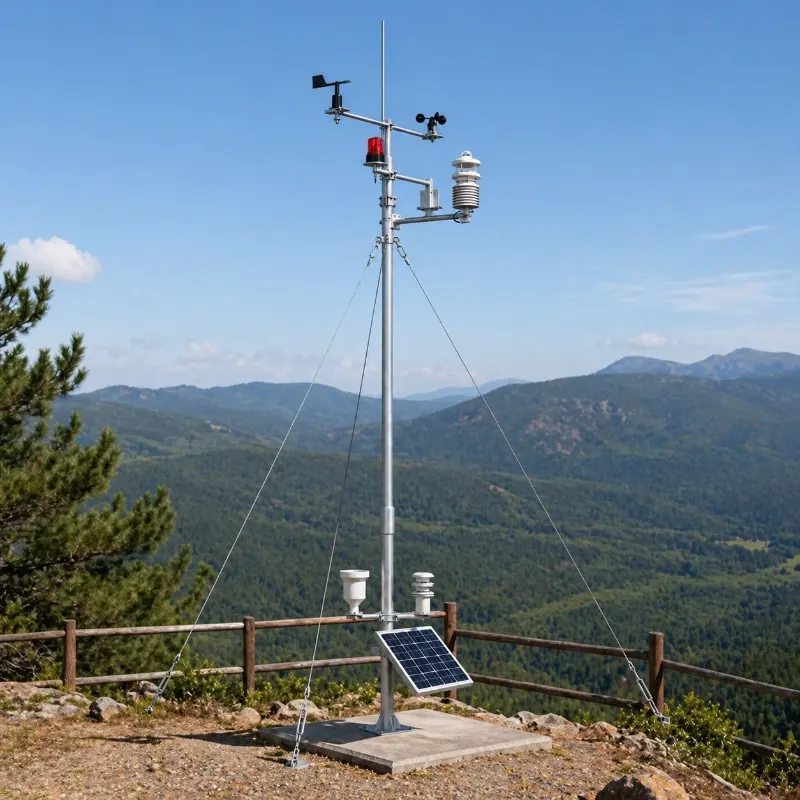
Suitable for harsh outdoor environments: Built for long-term deployment in forests, mountains and remote outdoor areas.
Supports data-based decision making: Helps forestry departments improve monitoring efficiency, reduce manual workload and strengthen fire prevention management.
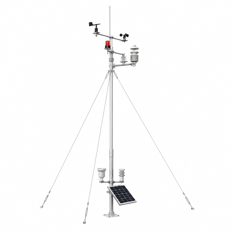
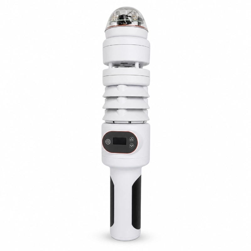
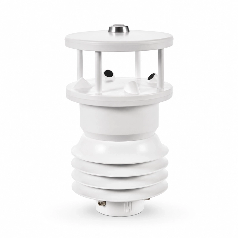
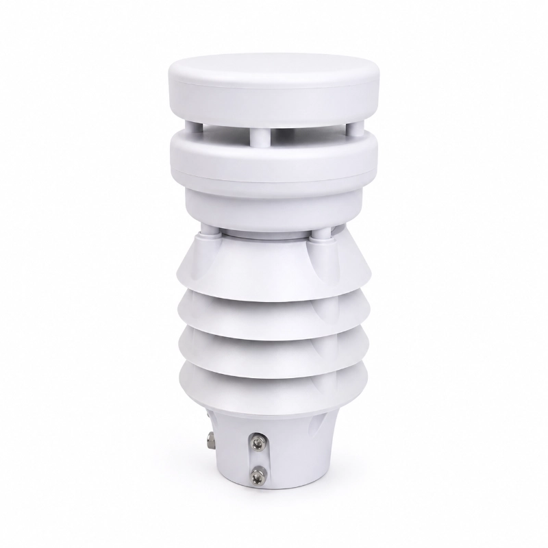
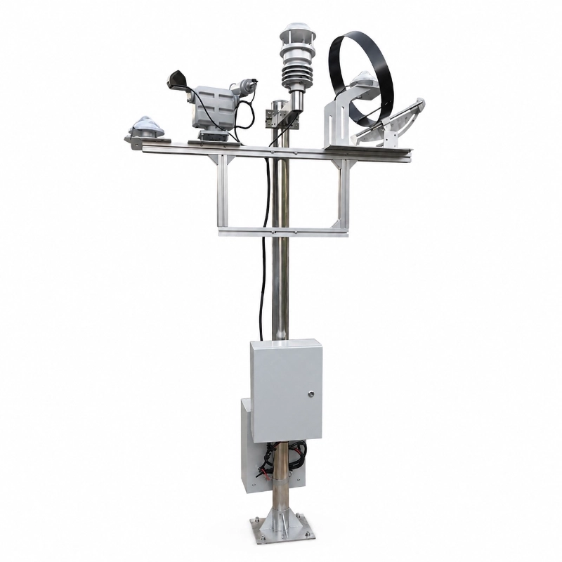
JW-SWS-F(LC50) forest fire weather station is an integrated monitoring solution designed for forest fire prevention, wildfire risk assessment and early warning. It provides real-time monitoring of key fire-weather factors such as air temperature, humidity, dew point, wind speed, wind direction, rainfall, atmospheric pressure, radiation and soil conditions, helping forestry departments and site managers identify fire risk earlier and respond faster.Forest fire stations can be integrated into a multi-sitereal-time weather monitoring network with centralized data, historical trends, and automatic alarms.
This system can also be expanded with video surveillance, data alarm functions and phenology monitoring, making it suitable for forests, nature reserves, mountain areas and other high fire-risk environments.
Product Overview
Wildfire risk is affected by the interaction of weather, vegetation, terrain and human activity. A weather station cannot identify every possible ignition source, but it can provide continuous field data about the atmospheric conditions that affect fuel drying and fire behavior.
High air temperature and solar radiation can accelerate moisture loss from vegetation. Low relative humidity can increase dryness, while strong winds may support faster fire spread and make suppression more difficult. Rainfall history and dew point data provide additional context for evaluating local moisture conditions.
The JW-SWS-F(LC50) continuously collects these variables at the monitoring site and transmits the information to a remote platform. Project operators can review real-time readings, historical trends, threshold alarms and multi-station comparisons from a centralized interface.
For wider deployments, multiple stations can be installed across forests, mountain corridors or protected areas to build a distributed wildfire weather monitoring network.
Fire danger is not determined by one measurement alone. It develops through combinations of changing environmental conditions.
Air Temperature
High temperatures can increase evaporation and accelerate the drying of leaves, grass, branches and surface fuels. Monitoring temperature trends helps operators identify prolonged hot periods.
Relative Humidity and Dew Point
Low relative humidity is often associated with drier fuels and increased ignition potential. Dew point provides additional information about atmospheric moisture and overnight moisture recovery.
Wind Speed and Wind Direction
Wind can supply oxygen to an active fire, influence its direction and increase the speed at which flames and embers move. Wind direction data also supports situational awareness for patrol and emergency response teams.
Rainfall
Recent rainfall affects soil moisture, vegetation moisture and surface fuel conditions. Continuous rainfall records are more useful than relying only on regional forecasts for site-specific assessment.
Solar Radiation
Solar radiation affects surface heating and evapotranspiration. It can help explain why exposed slopes and open forest areas dry faster than shaded locations.
Atmospheric Pressure
Pressure trends can support broader weather analysis and help identify changing weather systems when combined with other measurements.
The monitoring platform can combine these variables into operational dashboards or project-specific fire-weather indicators. Any formal fire danger index must be calculated using the approved method, local calibration data and procedures required by the relevant authority.
Standard Monitoring Parameters
Parameter
Measuring Range
Resolution
Accuracy
Ambient Temperature
-50 to 90°C
0.1°C
±0.3°C
Ambient Humidity
0 to 100% RH
1% RH
±3% RH
Dew Point
-50 to 50°C
0.1°C
±0.3°C
Wind Direction
0 to 360°
1°
±3°
Wind Speed
0 to 60 m/s
0.1 m/s
±(0.3 + 0.03V) m/s
Atmospheric Pressure
300 to 1100 hPa
0.1 hPa
±0.3 hPa
Rainfall
0 to 999.9 mm
0.1 0.2 0.5 mm
±4%
Solar Radiation
0 to 2500 W/m²
1 W/m²
≤5%
UV Radiation
0 to 1000 W/m²
1 W/m²
≤5%
Carbon Dioxide
0 to 2000 ppm
1 ppm
±20 ppm
Noise
20 to 130 dB
0.1 dB
±5 dB
PM1 PM2.5 PM10
0 to 1000 μg/m³
1 μg/m³
≤5%
Illuminance
0 to 200000 Lux
1 Lux
≤5%
Sunshine Duration
0 to 24 h
0.1 h
±0.1 h
Soil Temperature
-50 to 150°C
0.1°C
±0.2°C
Soil Moisture
0 to 100%
0.10%
±2%
Soil Salinity
0 to 15 mS/cm
0.01 mS/cm
±0.5%
Phenology Monitoring
Predictive analysis of plant growth stages phenological events health condition and ecosystem changes
—
—
Specifications may vary according to the selected sensor model and project configuration. Final technical parameters should be confirmed in the quotation or project datasheet.
Optional Monitoring Parameters
The forest fire weather station can be expanded with additional sensors when required:
Soil temperature
Soil moisture
Leaf or surface wetness
Illuminance
UV radiation
Sunshine duration
PM1, PM2.5 and PM10
CO₂
Noise
Visibility
Phenological monitoring
Visible-light camera
Other compatible RS485 or Modbus sensors
Optional parameters should be selected according to the actual fire prevention objective. Adding unnecessary sensors may increase power consumption, maintenance requirements and project cost without improving fire-risk analysis.
Forest Fire Weather Monitoring System Architecture
A complete monitoring point normally includes four layers.
1. Sensor Layer
Field sensors measure temperature, humidity, wind speed, wind direction, pressure, rainfall, radiation and optional soil or ecological parameters.
2. Data Acquisition Layer
A data logger or monitoring terminal collects sensor readings, applies the configured sampling interval and stores local records.
3. Communication Layer
The terminal transmits data through 4G LTE, LoRaWAN, Ethernet or another project-approved communication method.
The monitoring platform receives, stores and displays field data. Users can view current measurements, historical curves, station locations and alarm records from a centralized interface.
A typical data flow is:
Weather Sensors → Data Logger or RTU → Wireless Network → Cloud or Private Server → Dashboard and Alarm Notification
Communication Options
4G LTE
4G is suitable when the monitoring site has stable mobile network coverage and requires direct data transmission to a cloud server.
LoRaWAN
LoRaWAN can be used when several low-power monitoring points are distributed within the coverage area of a gateway. It is suitable for private forest monitoring networks and projects with multiple sensor nodes.
Ethernet
Ethernet may be used at visitor centers, ranger stations or other locations with existing wired network infrastructure.
Satellite Communication
For extremely remote regions without cellular or terrestrial network coverage, satellite communication can be evaluated as a project-specific option.
The most appropriate communication method depends on terrain, coverage, transmission frequency, power availability and the number of monitoring stations.
Power Supply Options
Remote forest monitoring points often require independent power systems. Available configurations may include:
Solar panel
Rechargeable battery
Solar charge controller
Mains power
Solar and mains hybrid power
Project-specific backup power
Solar panel and battery capacity should be calculated according to local solar resources, sensor load, communication frequency, winter conditions and required autonomy.
Remote Monitoring and Alarm Functions
The platform can be configured to support:
Real-time station data
Historical trend charts
Multi-station comparison
GIS map display
Device status monitoring
Data export
Threshold configuration
Alarm records
Low-battery warning
Communication interruption warning
Sensor abnormality warning
User and project management
Cloud or private-server deployment
API integration with third-party systems
Alarm rules should be configured according to local fire prevention procedures. A single high-temperature reading should not automatically be treated as proof of a wildfire.
Optional Camera Integration
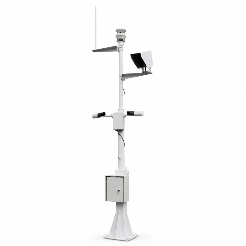
Weather data indicates whether environmental conditions are becoming more favorable for wildfire, while cameras provide visual information about the monitored area.
A visible-light camera can be added for:
Remote forest observation
Periodic image capture
Live site viewing
Smoke or abnormal-condition verification
Image upload to the monitoring platform
Support for ranger and emergency response workflows
Camera type, detection distance, mounting height, network bandwidth and power demand should be evaluated separately from the meteorological sensors.
Recommended Installation Locations
Possible locations include:
Forest fire lookout points
Mountain ridges
Valley entrances
Forest boundaries
High-risk vegetation zones
Areas near roads or settlements
National parks
Nature reserves
Timber production areas
Ecological research stations
Firebreak monitoring points
Remote ranger stations
Station locations should be selected using site-specific terrain, vegetation, prevailing wind, access, communication coverage and maintenance requirements.
Avoid placing the main weather sensors immediately beside buildings, large trees, exhaust outlets or other obstacles that could distort wind, temperature, rainfall or radiation measurements.
Installation Considerations
Wind Sensors
Install wind speed and direction sensors in an open location with minimal obstruction. The mounting mast must remain stable and vertical.
Install the rain gauge horizontally in an open area. Nearby trees or structures may block rainfall or create splash and turbulence errors.
Browse available automatic rain gauges for different precipitation monitoring requirements.
Temperature and Humidity Sensor
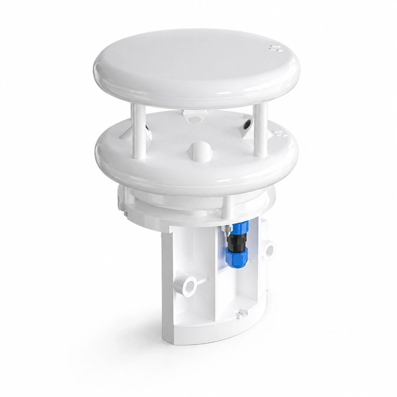
Use a suitable radiation shield and maintain ventilation around the sensor. Avoid mounting it directly above heat-absorbing surfaces.
Solar Radiation Sensor
The sensing surface should remain level, clean and free from shadows during the intended measurement period.
Solar Power System
Orient the solar panel according to the project location and inspect for seasonal shading from trees or terrain.
Camera
Select a rigid mounting position with a clear view of the target area. Camera installation must comply with local privacy, cybersecurity and regulatory requirements.
Application Scenarios
Forest Fire Prevention
Continuously monitor local fire-weather conditions in forests and woodland management areas.
Wildfire Early Warning Projects
Provide real-time weather data, trend analysis and configurable alarms as one component of a wider early warning system.
National Parks and Nature Reserves
Support fire prevention, ecological observation and remote environmental management.
Mountainous Areas
Establish autonomous monitoring points in locations where manual inspection is difficult.
Forestry Management Departments
Build distributed monitoring networks for centralized weather observation and fire-season management.
Ecological Research
Collect long-term microclimate and environmental data for forest ecology, vegetation and climate studies.
Emergency Response Support
Provide localized wind and weather information that can support field planning during fire events.
Configurable System Options
JW-IoT can configure the system according to:
Required monitoring parameters
Number of stations
Data sampling interval
Communication technology
Local mobile network frequency
LoRaWAN regional frequency
Solar power requirements
Battery autonomy
Camera requirements
Installation structure
Cloud platform requirements
Private server deployment
API or protocol integration
Branding and OEM requirements
To prepare a suitable configuration, provide the installation country, number of monitoring points, required parameters, communication coverage, power conditions and preferred platform method.
Build a Forest Fire Weather Monitoring System
A reliable wildfire prevention project requires suitable sensors, representative installation locations, stable power, dependable communication and practical alarm rules.
Send JW-IoT the following information to receive a recommended configuration:
Installation country and region
Number of monitoring points
Required weather parameters
Available communication network
Power supply conditions
Camera requirements
Cloud or private platform preference
Required data protocol or API
Contact JW-IoT to discuss your forest fire weather station project.
FAQ
Q
1. What does a forest fire weather station measure?
A
A forest fire weather station normally measures air temperature, relative humidity, wind speed, wind direction, rainfall, atmospheric pressure and solar radiation. Dew point, soil moisture, cameras and other environmental sensors can also be added.
Q
2. How does weather monitoring support wildfire early warning?
A
Weather monitoring identifies conditions that may contribute to vegetation drying, ignition risk or rapid fire spread. The data can be combined with local vegetation, terrain and historical information to support operational fire-risk assessment.
Q
3. Can the weather station detect an active forest fire?
A
The weather station primarily monitors environmental conditions associated with fire risk. It does not independently confirm every active fire. Cameras, smoke detection, satellite information, patrol reports or other fire-detection technologies may be integrated into a wider system.
Q
4. Can JW-IoT customize the sensor configuration?
A
Yes. JW-IoT can configure sensors, communication, power supply, data acquisition and platform functions according to the project requirements.
Q
5. Is the system suitable for remote forest areas?
A
Yes. The station can use solar power, battery backup and wireless communication for remote outdoor monitoring. Final autonomy depends on the selected sensors, communication interval and local solar conditions.
Q
6. Does the system support remote alarms?
A
Yes. The platform can issue alerts when monitored parameters, device conditions or communication status exceed configured thresholds.
Q
7. Can multiple stations be managed on one platform?
A
Yes. Multiple monitoring stations can upload data to a centralized platform for map display, trend analysis, alarm management and station comparison.
Q
8. Which communication method should be selected?
A
4G is practical where cellular coverage is available. LoRaWAN is suitable for multi-point private networks. Ethernet can be used at fixed facilities, while satellite communication may be evaluated for areas without terrestrial coverage.
Q
9. Does JW-IoT provide a cloud platform or API?
A
Yes. Cloud platform access, private deployment and API integration can be discussed according to the project scope and technical requirements.
 +86 13520127780
  info@jingelway.com