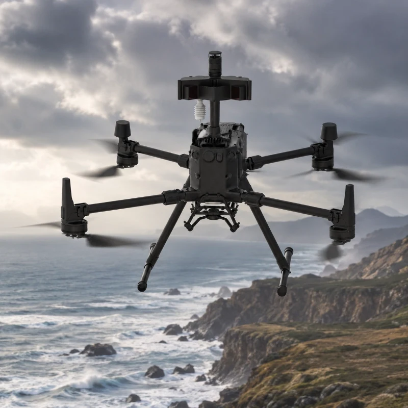
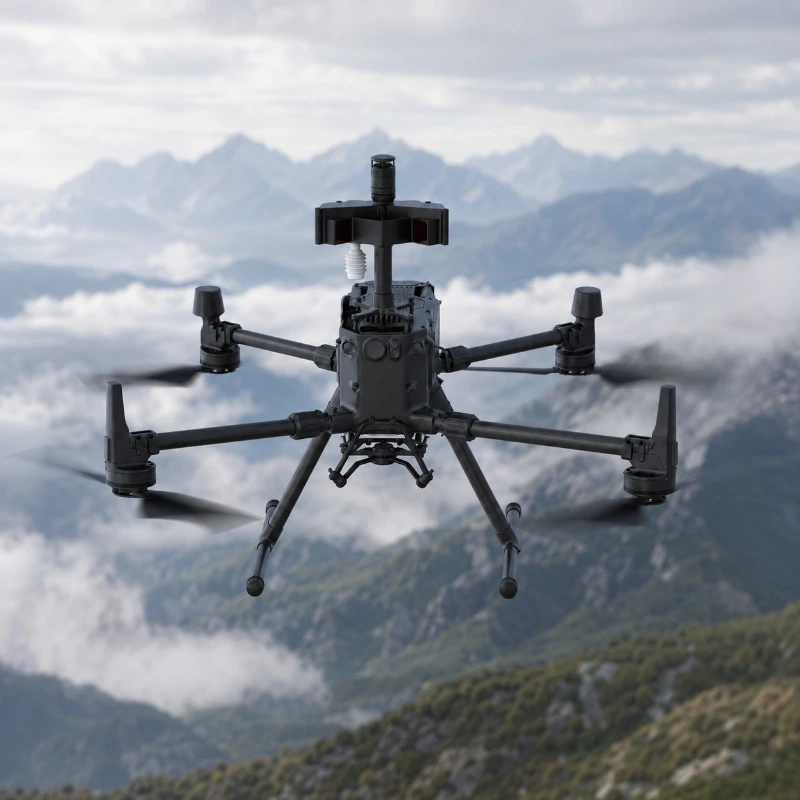
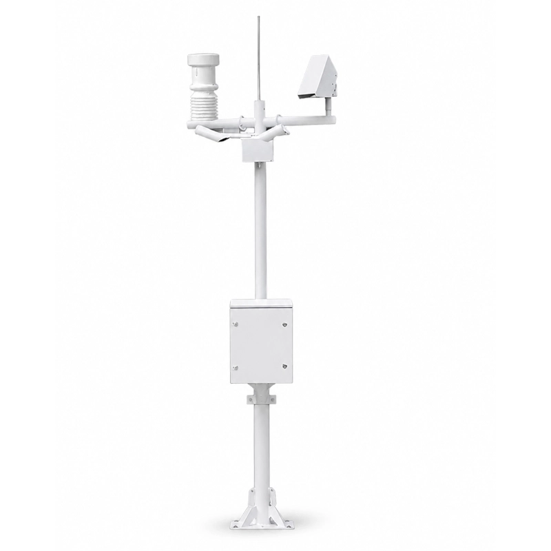
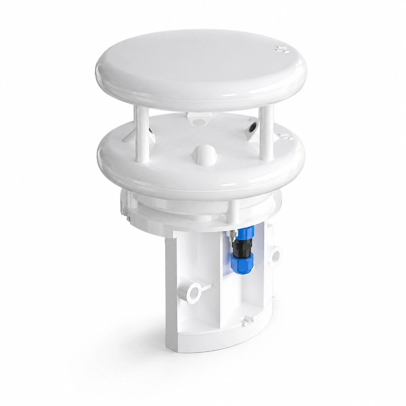
UAV Weather Monitoring System for Atmospheric Observation
Key Features
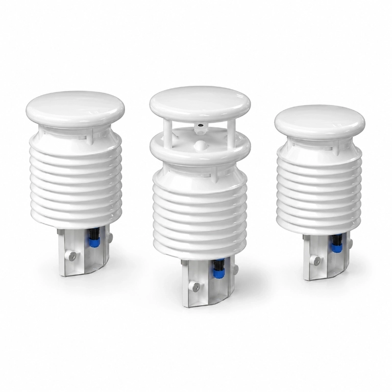
Multi-parameter aerial weather monitoring: Measures atmospheric temperature, relative humidity, air pressure, wind speed, wind direction, and visibility in one compact UAV-mounted system.
Designed for drone-based atmospheric observation: Suitable for vertical meteorological profiling, mobile weather monitoring, emergency response, and field environmental surveys.
Lightweight structure for UAV integration: Compact body with low weight helps reduce payload pressure and supports stable drone operation.
Real-time data response: Fast data response supports timely weather assessment during flight missions.
Internal data storage: Built-in data storage helps preserve historical observation data when network transmission is unstable.
Power-off configuration memory: Configuration files can be stored after power loss and automatically loaded after power-on.
Wired and wireless data transmission: Supports local data interaction and cloud platform upload through wired or 4G 5G network options.
Low power consumption: Designed for airborne use with low operating power consumption.
Automatic wind direction north alignment: Wind direction measurement supports automatic north orientation or zero-position calibration.
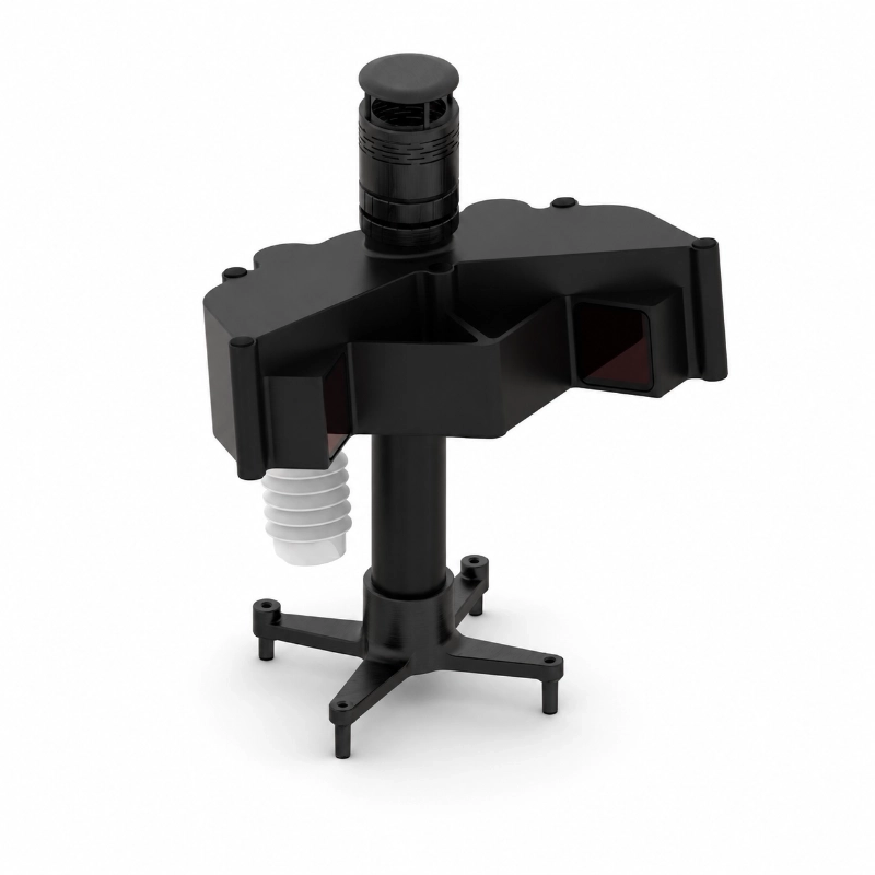
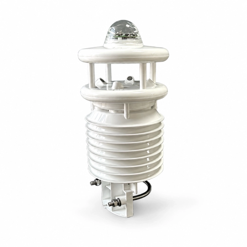
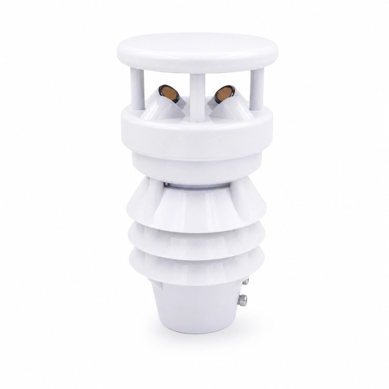
JW-WS06V(BY01)UAV Weather Monitoring System is a lightweight airborne meteorological sensing solution designed for drone-based atmospheric observation. It measures temperature, relative humidity, air pressure, wind speed, wind direction, and visibility at different altitude layers, helping users collect real-time weather data for emergency response, environmental monitoring, aviation support, and field research applications.
Product Overview
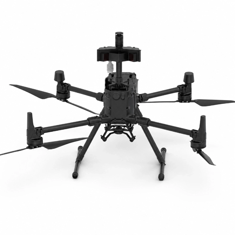
JW-WS06V(BY01)UAV Weather Monitoring System is designed for aerial meteorological monitoring missions where fixed weather stations cannot provide enough vertical or mobile observation data. Mounted on a UAV platform, the system integrates multiple meteorological sensing modules into a compact and low-power structure, allowing drones to collect atmospheric data while flying across different heights and locations.
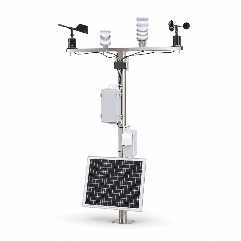
Unlike traditional ground-based weather stations, a drone weather monitoring system can capture weather changes in the lower atmosphere, around disaster areas, over complex terrain, or near temporary project sites. It is suitable for applications such as emergency weather observation, urban microclimate monitoring, environmental inspection, industrial site monitoring, visibility assessment, and research-grade atmospheric profiling.
The system supports real-time data interaction through the UAV communication link and can also upload data to a cloud platform through wired or 4G 5G wireless network connections. This makes it suitable for command centers and multi-drone collaborative observation scenarios.
Why UAV Weather Monitoring Matters
Traditional weather stations are usually installed at fixed locations. They are reliable for long-term surface observation, but they cannot easily capture weather changes at different altitudes or in rapidly changing field environments.
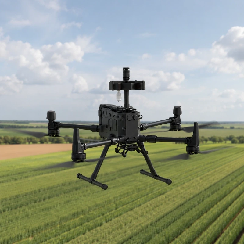
A UAV weather monitoring system solves this limitation by turning the drone into a mobile meteorological platform. It can fly over mountains, rivers, industrial zones, disaster areas, agricultural fields, coastal areas, and urban districts to collect localized atmospheric data.
This is especially useful when users need to understand:
How temperature and humidity change with altitude
Whether low visibility may affect flight or emergency operations
Wind speed and wind direction conditions at different heights
Localized atmospheric pressure changes
Weather differences between fixed stations and actual field locations
Environmental conditions in areas that are difficult or unsafe for people to access
For environmental agencies, emergency management departments, research teams, drone operators, and smart city projects, UAV-based meteorological monitoring can provide more flexible and three-dimensional weather data.
How the UAV Weather Monitoring System Works
The system is installed on the UAV platform as an airborne sensing payload. During flight, different sensing modules collect meteorological data, including temperature, humidity, pressure, wind, and visibility. The data can be transmitted through the UAV communication link to the flight controller or uploaded to a cloud platform for remote monitoring.
A typical workflow includes:
Sensor data collection The UAV-mounted weather sensor measures multiple atmospheric parameters during flight.
Drone communication interaction Data is exchanged through the UAV communication link and flight control system.
Real-time display Operators can view observation data during the mission.
Cloud platform upload Data can be uploaded through wired network or 4G 5G wireless communication.
Command center monitoring The monitoring platform can display synchronized data for remote supervision and decision-making.
Multi-drone collaborative observation Multiple UAVs can be deployed to collect meteorological data across different areas or altitude layers.
Technical Specifications
Physical Specifications
Item
Specification
Product Type
UAV Weather Monitoring System
Mounting Type
UAV-mounted airborne weather sensor
Dimensions
175 × 110 × 245 mm ±10 mm
Weight
≤500 g
Measurement Parameters
Parameter
Range
Accuracy
Resolution
Temperature
-40°C to +55°C
±0.3°C
0.1°C
Relative Humidity
10% to 100%RH
±3% ≤80%RH ±5% >80%RH
0.1%RH
Air Pressure
330 to 1100 hPa
±0.3 hPa
0.1 hPa
Visibility
10 to 10000 m
±50 m ≤500 m ±10% 500 m to 1500 m ±20% >1500 m
1 m
Wind Speed
0 to 30 m/s
±0.5 + 0.03V m/s
0.1 m/s
Wind Direction
0° to 360°
±0.3°
0.1°
Electrical Performance
Item
Specification
Power Supply
DC24V
Power Consumption
≤2.5W
Communication Interface
E-Port
Environmental Adaptability
Item
Specification
Operating Environment
-40°C to +60°C 10% to 100%RH
Storage Environment
-40°C to +60°C 10% to 100%RH
Protection Rating
IP65
Core Applications
Emergency Weather Observation: For flood rescue, fire response, disaster assessment, and emergency command, drones can quickly enter dangerous or inaccessible areas and collect localized weather data.
Low Altitude Atmospheric Profiling: The system helps users observe temperature, humidity, wind, and visibility changes at different flight heights, supporting research and operational decision-making.
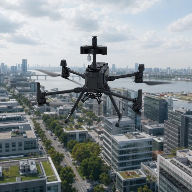
Urban Microclimate Monitoring: UAV-based weather monitoring can be used for smart city projects, urban heat island studies, road visibility assessment, and localized environmental inspection.
Environmental and Industrial Inspection: It can support chemical parks, mining areas, power plants, ports, and large industrial facilities where real-time weather conditions affect safety and operations.
Aviation and UAV Operation Support: Before or during UAV missions, the system can help evaluate wind conditions, visibility, and local atmospheric changes.
Mountain and Complex Terrain Monitoring: For areas where fixed weather stations are difficult to install, UAV monitoring offers flexible weather observation across valleys, slopes, rivers, and remote terrain.
What Is a UAV Weather Monitoring System
A UAV weather monitoring system is a compact meteorological sensor payload installed on a drone. It allows the drone to collect weather data during flight instead of relying only on fixed ground stations.
The main value of this system is mobility. A ground weather station can only monitor one fixed point, while a UAV weather station can move across different locations and altitude layers. This makes it useful for real-time atmospheric observation, especially in temporary or emergency scenarios.
Difference Between UAV Weather Monitoring and Ground Weather Stations
Comparison Item
UAV Weather Monitoring System
Ground Weather Station
Monitoring Method
Mobile aerial observation
Fixed point observation
Observation Height
Multiple altitude layers
Usually near ground level
Deployment Speed
Fast and flexible
Requires fixed installation
Suitable Scenarios
Emergency response field survey vertical profiling
Long-term weather monitoring
Data Coverage
Mobile and three-dimensional
Stable but location-limited
Why Visibility Monitoring Is Important for UAV Missions
Visibility is a key weather factor for UAV flight safety and emergency operations. Low visibility caused by fog, dust, smoke, heavy humidity, or pollution may affect flight planning, visual inspection, landing safety, and rescue efficiency.
By combining visibility data with wind speed, wind direction, humidity, temperature, and pressure, operators can better understand the real-time atmospheric environment around the UAV flight area.
Why Wind Speed and Wind Direction Matter
Wind conditions directly affect UAV flight stability, battery consumption, route planning, and mission safety. A UAV weather monitoring system can collect wind data at different heights, helping operators evaluate whether the flight environment is suitable for inspection, mapping, rescue, or environmental monitoring tasks.
FAQ
Q
1. What parameters can this UAV weather monitoring system measure?
A
It can measure atmospheric temperature, relative humidity, air pressure, wind speed, wind direction, and visibility, making it suitable for drone-based meteorological observation.
Q
2. What is the main advantage of a UAV weather monitoring system?
A
The main advantage is mobile aerial observation. It can collect weather data at different locations and altitude layers where fixed weather stations cannot easily reach.
Q
3. Is this system suitable for low altitude atmospheric profiling?
A
Yes. The system can be used to collect meteorological data at different flight heights, helping users understand vertical changes in wind, temperature, humidity, pressure, and visibility.
Q
4. Is this system suitable for low altitude atmospheric profiling?
A
Yes. The system can be used to collect meteorological data at different flight heights, helping users understand vertical changes in wind, temperature, humidity, pressure, and visibility.
Q
5. How does the system transmit data?
A
The system can exchange data through the UAV communication link and can also upload data to a cloud platform through wired or 4G 5G wireless network connections.
Q
6. Can JW-IoT support cloud platform integration?
A
Yes. JW-IoT can support cloud platform integration, data visualization, remote monitoring, and project-based communication requirements according to the application scenario.
Q
7. Is the UAV weather monitoring system lightweight?
A
Yes. The system is designed with a compact structure and a weight of no more than 500 g, making it suitable for UAV payload integration.
Q
8. What industries can use this product?
A
Typical industries include emergency management, environmental monitoring, smart city projects, aviation support, industrial safety, research institutes, and disaster prevention departments.
Q
9. Can JW-IoT customize the solution for different UAV platforms?
A
JW-IoT can evaluate project requirements and provide suitable configuration recommendations based on UAV platform, communication method, monitoring parameters, and deployment scenario.
 +86 13520127780
  info@jingelway.com